Motti Zohar

Prof. Motti Zohar

School of Environmental Sciences
Environmental History & Geospatial Information Sciences

Biography

Motti Zohar is an associate professor at the School of Environmental Sciences, University of Haifa, and an expert in Environmental History and Geographic Information Science (GIScience). Since 2021, he has led the GIScience Environmental Lab, spearheading interdisciplinary research that integrates historical and environmental scenarios with advanced geospatial methodologies. Professor Zohar serves as a research member of the Climate and Environmental Sustainability Center, the National Knowledge and Research Center for Emergency Readiness and the Chaikin Chair for Geostrategy where he contributes to the understanding of the interplay between environmental processes, societal change, and historical contexts. His work is renowned for studying natural hazards, such as earthquakes, extreme climate conditions and floods, and their historical impacts on human societies by employing GIScience, computer vision, and earth observation. He specializes in reconstructing historical landscapes and scenarios (in 2D and 3D geospatial modelling) to interrogate human-environment interactions. In his studies he integrates between archival texts and accounts with old cartographic material such as maps, drawings and photos to shed light on environmental transformations over time.

In addition to his research, Professor Zohar has taken on significant roles in academic administration and service. He has been a member of the editorial boards of prestigious journals, where he has also guest-edited special issues focusing on Geographic Information Science and its applications in environmental and historical studies. He has served as a reviewer for competitive grants and high-impact international journals and institutes. Since his affiliation, he has mentored undergraduate students during their first steps at the university and supervised MA/PhD students as well as post-docs fellows. Beyond academia, Professor Zohar is a trusted consultant for both public and private sector organizations. His expertise has been instrumental in projects addressing mitigation of natural disasters, urban resilience, disaster preparedness, and spatial analyses of historical and contemporary environments. He has collaborated with organizations such as the Israel Science Foundation, the Ministry of Science and Technology, and international academic initiatives, bridging the gap between academic research and real-world applications.

Prior to his academic career, Professor Zohar worked in the IT industry where he served as an enterprise system analyst and project manager of GIS Software systems development. He was involved in several startups, driving their growth through innovative software development and strategic implementation of emerging technologies. He earned his BA (1998) and PhD (2016) from the Hebrew University of Jerusalem and an MA from Tel Aviv University (2006). His postdoctoral fellowship in the physical geography department at the Freie University of Berlin (2016–2018) provided an invaluable platform to refine his geospatial methodologies and apply them to environmental history themes. He wrote dozens of scientific papers and regularly shares his findings at local and international conferences, where his work has garnered widespread recognition. He is currently involved in projects related to environmental history themes, specifically on natural hazards and their impact on ancient societies.

Research Interests

  • Geospatial Information Science for examining  the interplay between the human & natural environments
  • Spatiotemporal patterns associateג with the occurrences of natural hazards and risks
  • The development of GIScience  themes, approaches & geoanalytics tools
  • Earth observation for monitoring natural and human induced processes
  • Landscapes & historical scenes reconstruction using GeoAI
  • Interrogation of old cartographic material (e.g., maps, drawings, photographs and air photos)


Go to Prof. Zohar’s webpages:

Google scholar;  Researchgate;  Linkedin; Facebook

Latest News

Post1

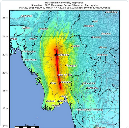
Data from large earthquakes are critical to understand how the ground will shake in future large quakes on similar faults world-wide.


Read More »

Post2

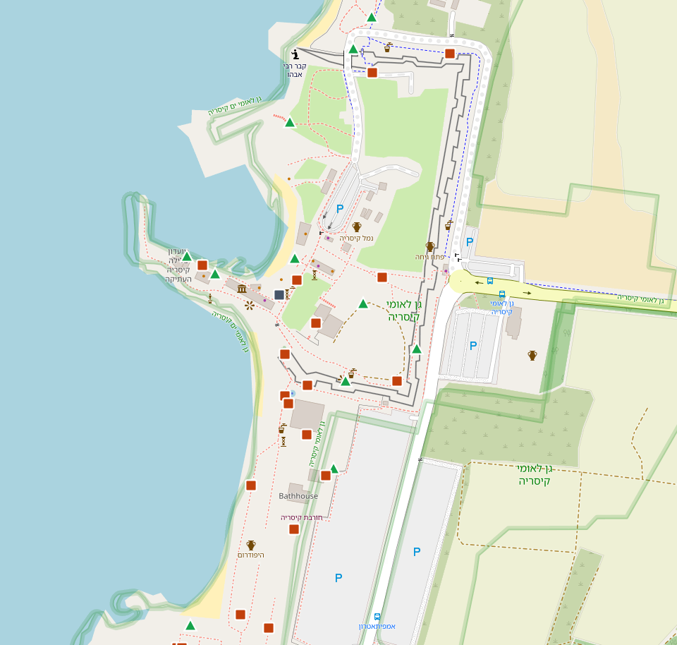
In their latest publication in the journal Natural Hazards, Amos Salamon, Rachid Omira, Motti Zohar, and Maria Ana Baptista explore the mysteries surrounding the devastating 551 AD earthquake and subsequent tsunami
Read More »

Highlights

From The Spotlight

POIs

POIs Map is an interactive map showcasing geographical, historical, cultural, and environmental points of interest worldwide, documented through field research and travel. The map combines spatial

Read More »