
Web Maps, Story Maps & Dashboards

Earthquakes Israel Map

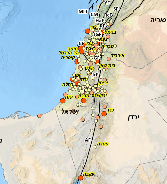
The map reviews and analyzes historical earthquakes affecting Israel and its close surroundings over the past 3,000 years. The study identifies recurring damage patterns linked mainly to the Dead Sea Transform, and reassesses earthquake recurrence intervals. It also concludes that damaging earthquakes occurred approximately every 45–55 years on average.
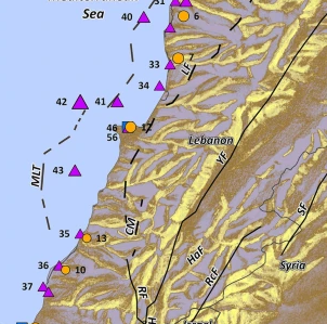
The 551 earthquake & tsunami in Lebanon Map

On July 9th, 551 AD, a strong earthquake followed by a noticeable tsunami and another destructive shock hit the littoral zone of Phoenicia, currently Lebanon. The sequence of events was associated with active faults in the region, but the source able to explain both seismic and tsunami effects is still a matter of open debate. 

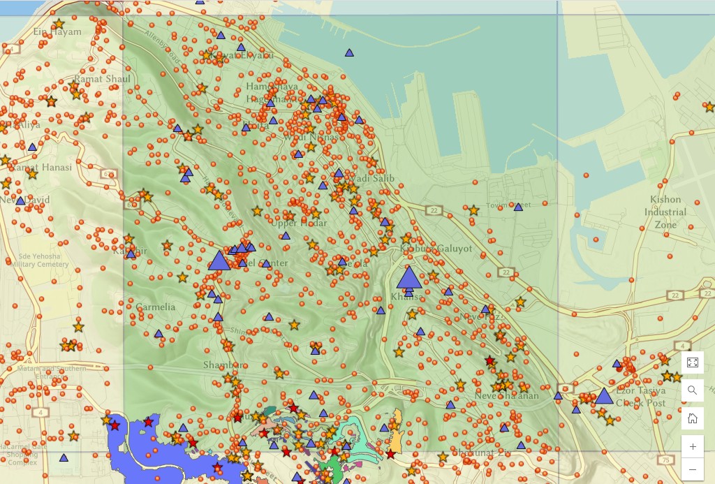
Twitter Haifa Map

The distribution of tweets (Blue triangles) after the November 2016 fire in Haifa (Israel) amid true Israel Fire and Rescue Authority reports. The size of a given triangle determines the number of tweets associated with this location during the outbreak of the fire. 

PEF-land with no people Story Map

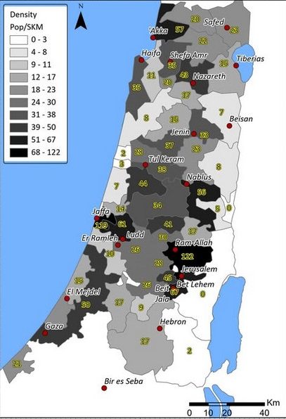
Using the Palestine Exploration Fund (PEF) map to evaluate the size of Palestine’s population in the 2nd half of the 19th century. The process included GIScience and statistics analysis and yielded a population of ~340000 people at the time

Insence Road Map

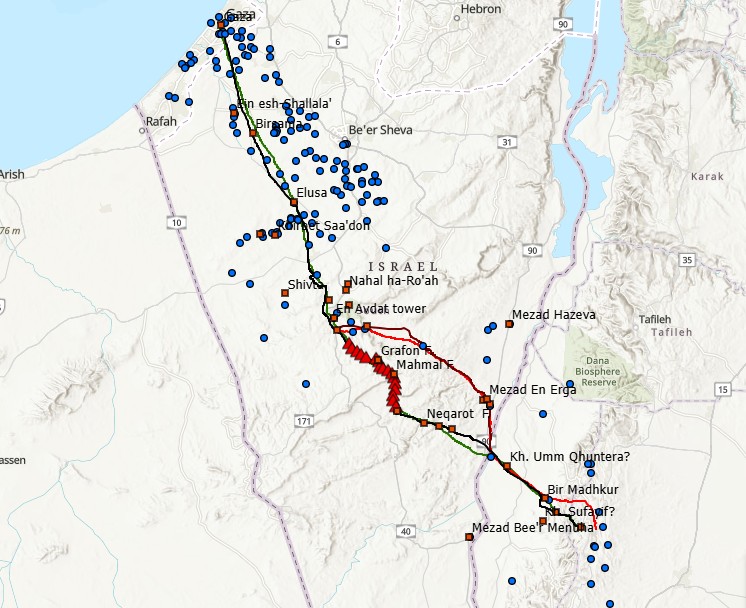
Analysis of the Nabatean incense road using Cost Function and GIS Science. The segment analyzed lead from Petra to Gaza port where incense was distributed throughout the Mediterranean 

Tiberias Map

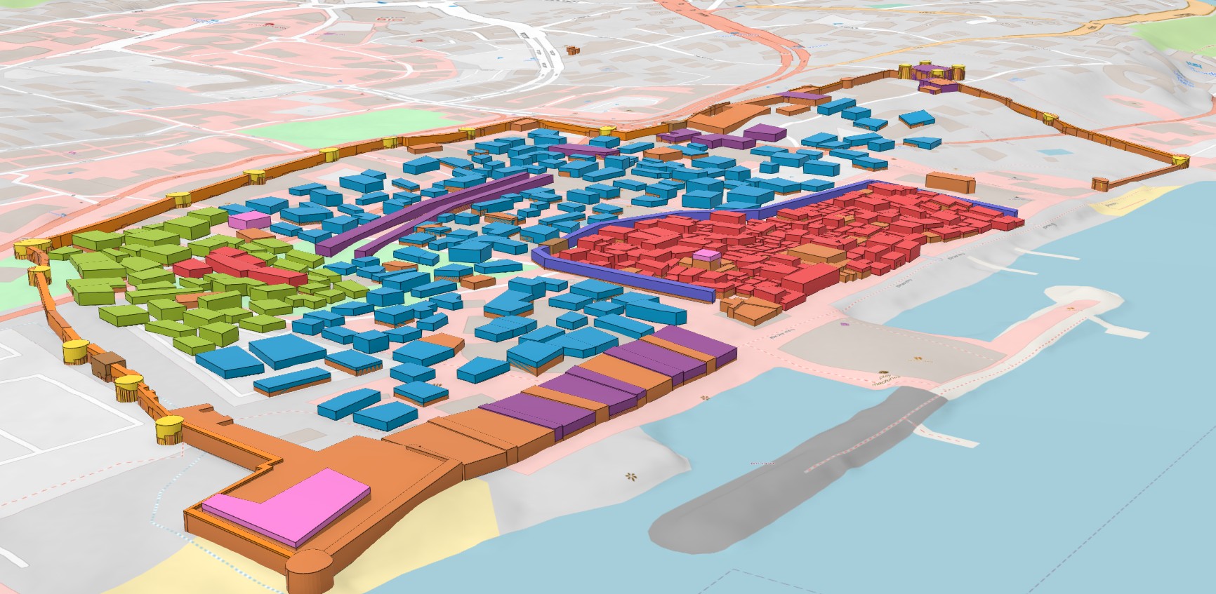
3D map of Tiberias (northen Israel) depicting the city before the January 1837 earthquake and how it looked after the catastrophe hit. The damage was evaluated using textual and visual historical sources (mainly maps and drawings)