

Reconstruction & Evaluation of Desert Routes in the Negev (Israel) using Historical GIS
This project developed and applied Historical GIS (HGIS) methodologies to reconstruct, analyze, and evaluate long-distance transportation networks in the Negev Desert from antiquity to the twentieth century. By integrating historical maps, archaeological evidence, and GIS-based spatial analysis, the research investigated the evolution, continuity, and transformation of desert route systems over nearly two millennia.
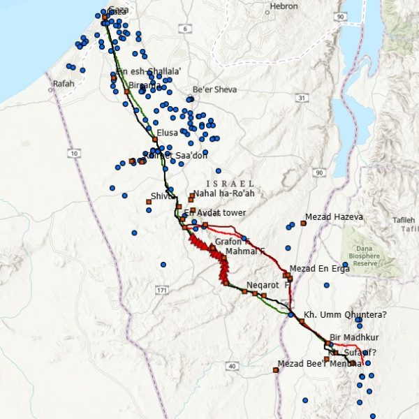
The project focused on two complementary case studies: the reconstruction of the Nabataean–Roman Incense Road between Petra and Gaza, and the analysis of twentieth-century transportation networks in the Negev based on early British military maps. Together, these studies demonstrated the value of Historical GIS for understanding the long-term development of transportation corridors and their role in shaping human mobility and regional landscapes.
The research is funded by the Rothschild Fellows and Minerva Stiftung postdoctoral fellowships
Publications
Zohar, M. (2019). Follow the road: Historical GIS for evaluating the development of routes in the Negev region during the twentieth century. Cartography and Geographic Information Science, 46(6), 532–546. https://doi.org/10.1080/15230406.2019.1577176
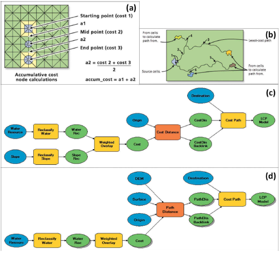
Zohar, M., & Erickson-Gini, T. (2020). The “Incense Road” from Petra to Gaza: An analysis using GIS and cost functions. International Journal of Geographical Information Science, 34(2), 292–310. https://doi.org/10.1080/13658816.2019.1669795
Data & Resources