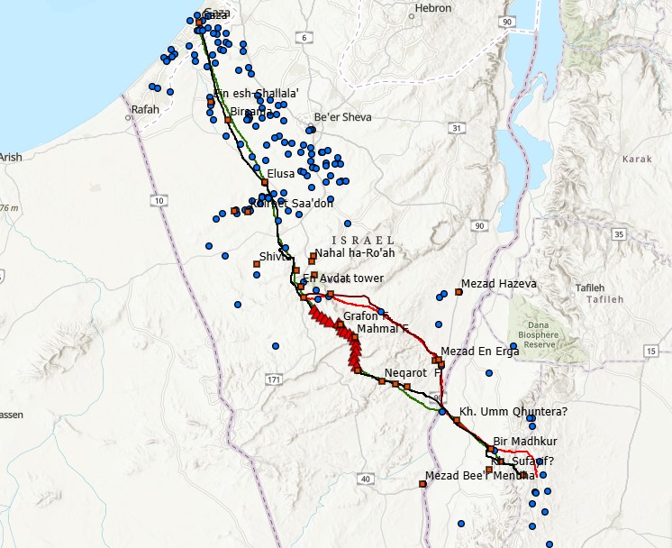
Insence Road Map
Analysis of the Nabatean incense road using Cost Function and GIS Science. The segment analyzed lead from Petra to Gaza port where incense was distributed throughout the Mediterranean


Analysis of the Nabatean incense road using Cost Function and GIS Science. The segment analyzed lead from Petra to Gaza port where incense was distributed throughout the Mediterranean
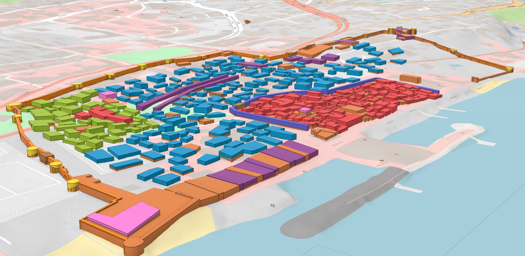
3D map of Tiberias (northen Israel) depicting the city before the January 1837 earthquake and how it looked after the catastrophe hit. The damage was evaluated using textual and visual…
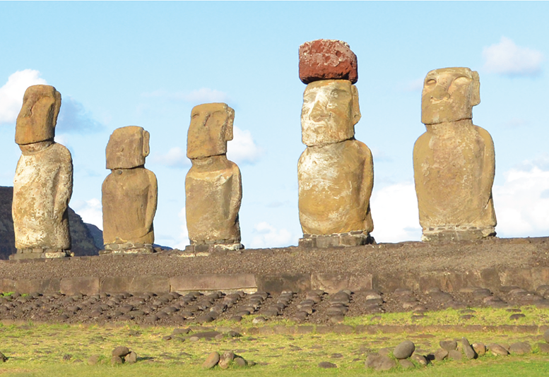
Environmental History and the Human Factor This course examines the long-term relationships between human societies and their environments. It explores how climate, topography, water resources, vegetation, wildlife and other environmental…
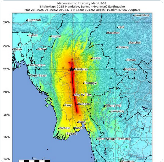
Data from large earthquakes are critical to understand how the ground will shake in future large quakes on similar faults world-wide.
In their latest publication in the journal Natural Hazards, Amos Salamon, Rachid Omira, Motti Zohar, and Maria Ana Baptista explore the mysteries surrounding the devastating 551 AD earthquake and subsequent tsunami
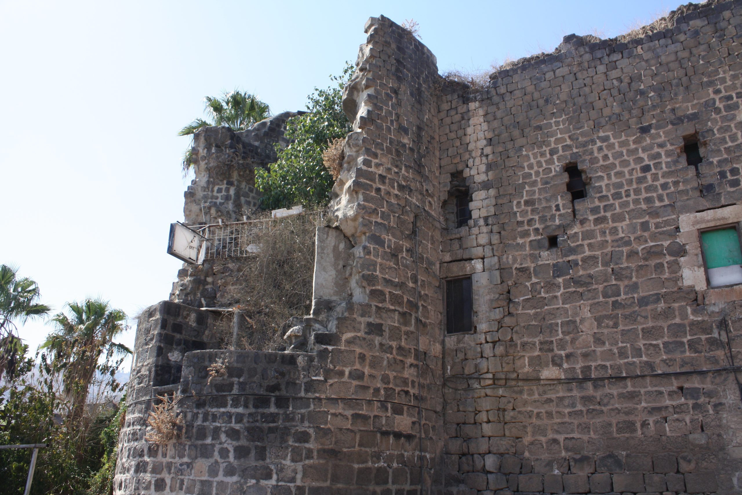
The Study of Historical Earthquakes, Damage and Environmental Effects The project integrates historical seismology, paleoseismology, archaeoseismology and GIScience approaches to addresses gaps in knowledge about seismic activity of the Dead…