

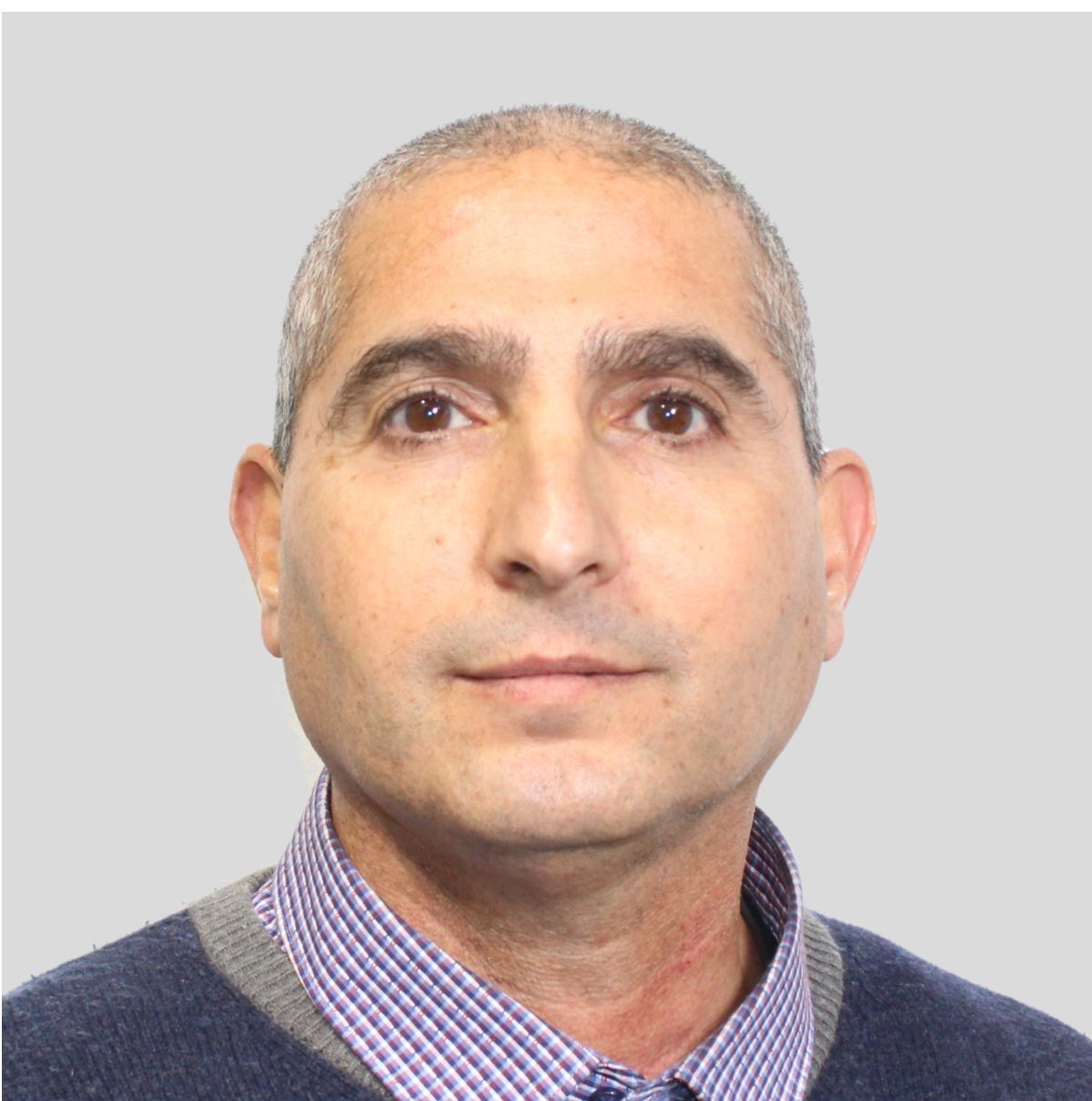
Motti Zohar

Prof. Motti Zohar

School of Environmental Sciences
Environmental History & Geospatial Information Sciences

Biography

Motti Zohar is an associate professor at the School of Environmental Sciences, University of Haifa, and an expert in Environmental History and Geographic Information Science (GIScience). Since 2021, he has led the GIScience Environmental Lab, spearheading interdisciplinary research that integrates historical and environmental scenarios with advanced geospatial methodologies. Professor Zohar serves as a research member of the Climate and Environmental Sustainability Center, the National Knowledge and Research Center for Emergency Readiness and the Chaikin Chair for Geostrategy where he contributes to the understanding of the interplay between environmental processes, societal change, and historical contexts. His work is renowned for studying natural hazards, such as earthquakes, extreme climate conditions and floods, and their historical impacts on human societies by employing GIScience, computer vision, and earth observation. He specializes in reconstructing historical landscapes and scenarios (in 2D and 3D geospatial modelling) to interrogate human-environment interactions. In his studies he integrates between archival texts and accounts with old cartographic material such as maps, drawings and photos to shed light on environmental transformations over time.

In addition to his research, Professor Zohar has taken on significant roles in academic administration and service. He has been a member of the editorial boards of prestigious journals, where he has also guest-edited special issues focusing on Geographic Information Science and its applications in environmental and historical studies. He has served as a reviewer for competitive grants and high-impact international journals and institutes. Since his affiliation, he has mentored undergraduate students during their first steps at the university and supervised MA/PhD students as well as post-docs fellows. Beyond academia, Professor Zohar is a trusted consultant for both public and private sector organizations. His expertise has been instrumental in projects addressing mitigation of natural disasters, urban resilience, disaster preparedness, and spatial analyses of historical and contemporary environments. He has collaborated with organizations such as the Israel Science Foundation, the Ministry of Science and Technology, and international academic initiatives, bridging the gap between academic research and real-world applications.

Prior to his academic career, Professor Zohar worked in the IT industry where he served as an enterprise system analyst and project manager of GIS Software systems development. He was involved in several startups, driving their growth through innovative software development and strategic implementation of emerging technologies. He earned his BA (1998) and PhD (2016) from the Hebrew University of Jerusalem and an MA from Tel Aviv University (2006). His postdoctoral fellowship in the physical geography department at the Freie University of Berlin (2016–2018) provided an invaluable platform to refine his geospatial methodologies and apply them to environmental history themes. He wrote dozens of scientific papers and regularly shares his findings at local and international conferences, where his work has garnered widespread recognition. He is currently involved in projects related to environmental history themes, specifically on natural hazards and their impact on ancient societies.

Research Interests

  • Geospatial Information Science for examining the interplay between the human & natural environments
    This research explores how human activities shape—and are shaped by—natural landscapes using geospatial technologies. It highlights the complex interactions between settlements, infrastructure, ecosystems, and climate through spatial analysis. Students and collaborators engage in uncovering patterns of change that inform sustainable planning and environmental stewardship.

  • Spatiotemporal patterns associated with the occurrences of natural hazards and risks
    Understanding where and when natural hazards occur—such as floods, wildfires, and earthquakes—is critical for building resilience. This research focuses on identifying and modeling spatial and temporal trends to assess vulnerability and risk. It offers tools and insights that support disaster preparedness, early warning systems, and climate adaptation strategies.

  • The development of GIScience themes, approaches & geoanalytics tools
    At the cutting edge of Geographic Information Science, this work advances new methods for data analysis, visualization, and spatial reasoning. It includes developing innovative geoanalytics techniques to tackle complex geographical questions. Students will be equipped with both theoretical foundations and hands-on skills that are highly sought after in academia, industry, and public policy.

  • Earth observation for monitoring natural and human-induced processes
    Satellite imagery and remote sensing data are used to monitor changes in land use, vegetation, urban growth, and environmental degradation. This research uncovers the causes and consequences of these transformations at various scales. It invites students to harness Earth observation technologies to inform climate science, conservation, and global development goals.

  • Landscapes & historical scenes reconstruction using GeoAI
    By applying Artificial Intelligence to spatial and historical data, this research reconstructs past environments and human landscapes. It bridges environmental history with modern machine learning to visualize how places have evolved. This interdisciplinary approach opens new possibilities for storytelling, heritage studies, and long-term environmental analysis.

  • Interrogation of old cartographic material (e.g., maps, drawings, photographs, and air photos)
    Historical maps, sketches, and aerial imagery hold valuable information about past geographies and human-environment relationships. This research deciphers and integrates these materials into modern geospatial frameworks. Students will learn to digitally preserve, analyze, and reinterpret historical documents to gain fresh insights into past landscapes and cultural practices.

Highlights

From the Spotlight

GIScience, GIS, and Geoinformatics: understanding the differences

The terms Geographic Information Science (GIScience), Geographic Information Systems (GIS), and Geoinformatics are frequently used interchangeably, often leading to confusion among researchers, professionals, and students in the field of spatial sciences. However, these terms refer to distinct concepts, each with its own scope, purpose, and application. This discussion aims to clarify the differences and relationships between them.
The term GIScience was first introduced by Michael Goodchild in his seminal 1992 paper, where he defined it as an independent scientific discipline that examines the theoretical foundations, principles, and methodologies underlying the acquisition, management, analysis, and visualization of spatial data. GIScience extends beyond the mere use of GIS software and tools—it encompasses fundamental research on spatial analysis, geostatistics, spatial cognition, spatial data infrastructures, and the social and ethical implications of geographic data. It addresses questions such as how spatial patterns emerge, how geographic information can be effectively represented, and how computational techniques can enhance spatial decision-making.

Read More »