

Virtualization of Ottoman Palestine using Historical GIS (HGIS) and Machine Learning

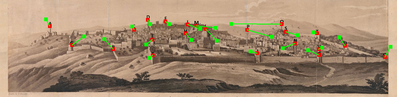
Virtualization of Ottoman Palestine using Historical GIS (HGIS) and Machine Learning This project developed and applied Historical GIS (HGIS) and GeoAI methodologies to reconstruct urban landscapes in late Ottoman Palestine…
Continue ReadingVirtualization of Ottoman Palestine using Historical GIS (HGIS) and Machine Learning

Spatial and temporal analysis of Dead Sea Transform historical earthquakes

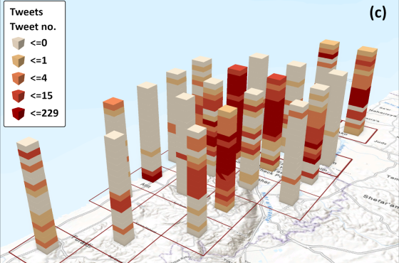
Spatial and temporal analysis of Dead Sea Transform historical earthquakes This project investigated the long-term seismic history of the Dead Sea Transform (DST) by integrating historical documentary sources, archaeoseismological evidence,…

Continue ReadingSpatial and temporal analysis of Dead Sea Transform historical earthquakes