
Climate Reconstruction of Southern Palestine Using GIScience and Multi-Proxy Evidence

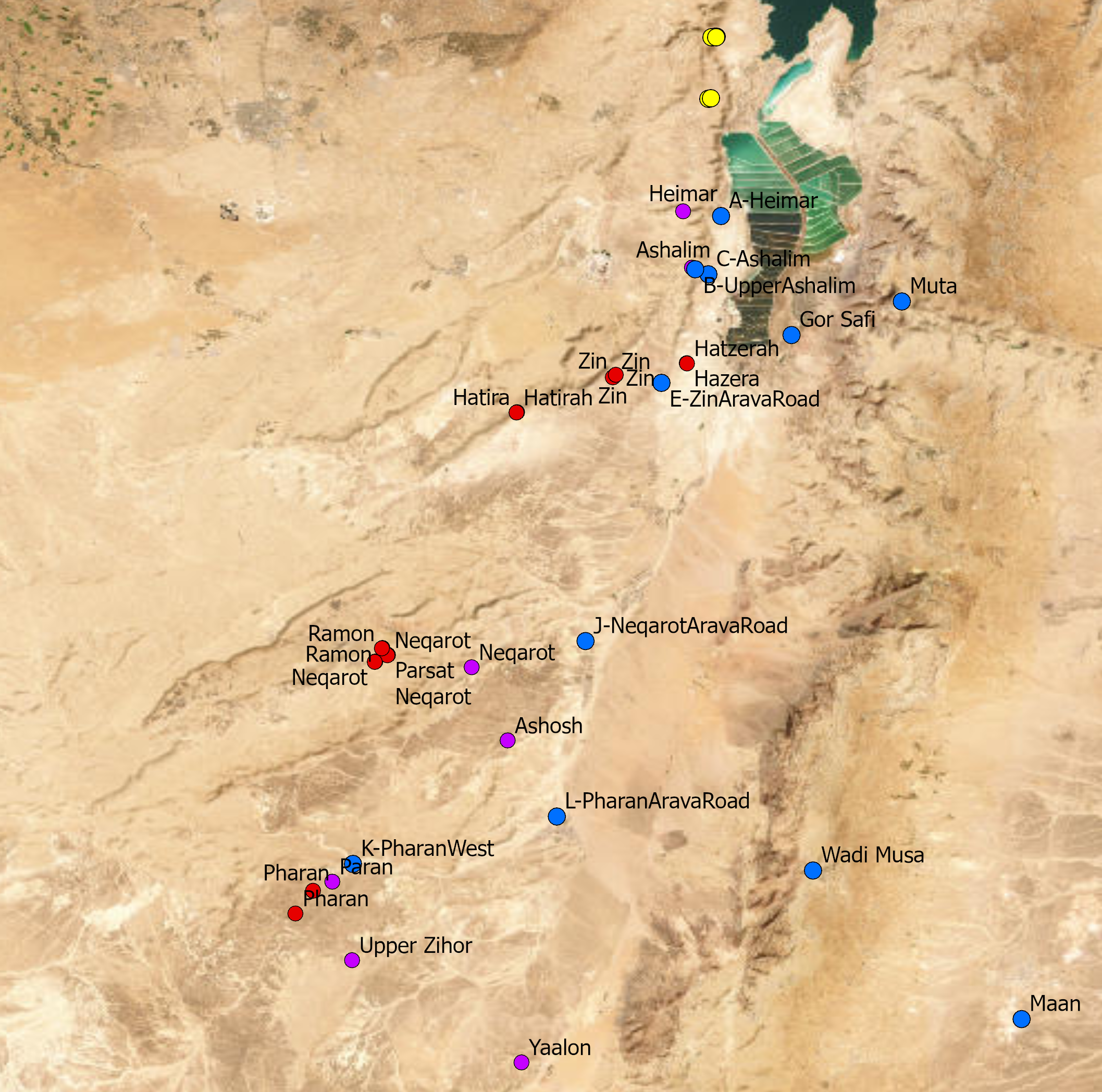
Climate Reconstruction of Southern Palestine Using GIScience and Multi-Proxy Evidence An interdisciplinary research project that develops a GIScience-based framework for reconstructing past climate variability in the arid and semi-arid regions…

Continue ReadingClimate Reconstruction of Southern Palestine Using GIScience and Multi-Proxy Evidence

Virtualization of Ottoman Palestine using Historical GIS (HGIS) and Machine Learning

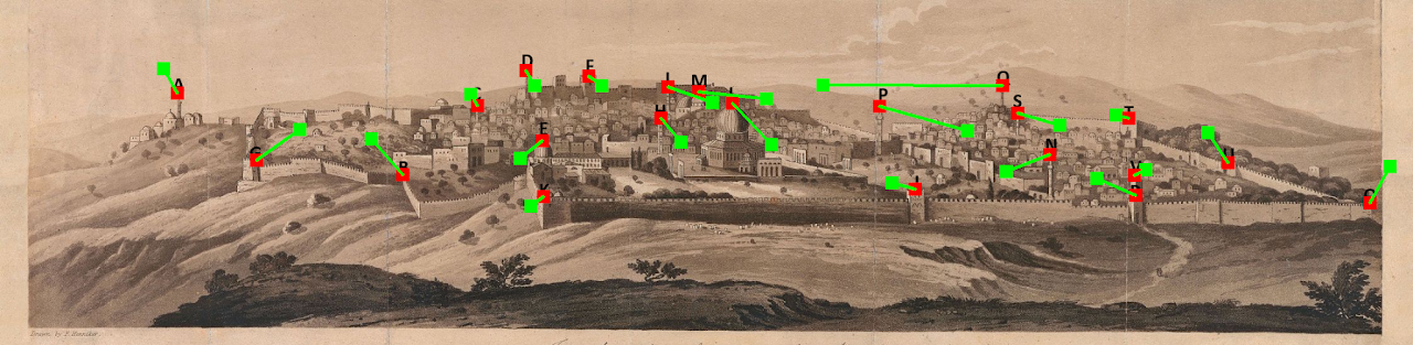
Virtualization of Ottoman Palestine using Historical GIS (HGIS) and Machine Learning This project developed and applied Historical GIS (HGIS) and GeoAI methodologies to reconstruct urban landscapes in late Ottoman Palestine…

Continue ReadingVirtualization of Ottoman Palestine using Historical GIS (HGIS) and Machine Learning

Reconstruction and evaluation of desert routes in the Negev (Israel) using Historical GIS

Reconstruction & Evaluation of Desert Routes in the Negev (Israel) using Historical GIS This project developed and applied Historical GIS (HGIS) methodologies to reconstruct, analyze, and evaluate long-distance transportation networks…

Continue ReadingReconstruction and evaluation of desert routes in the Negev (Israel) using Historical GIS

Spatial and temporal analysis of Dead Sea Transform historical earthquakes

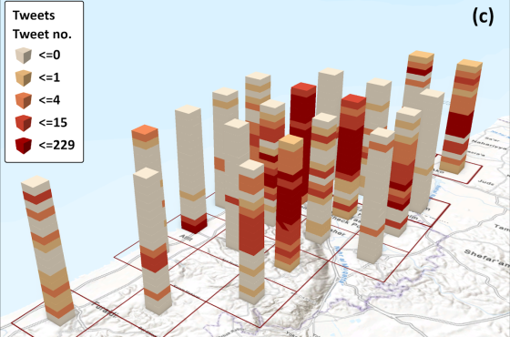
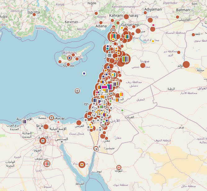
Spatial and temporal analysis of Dead Sea Transform historical earthquakes This project investigated the long-term seismic history of the Dead Sea Transform (DST) by integrating historical documentary sources, archaeoseismological evidence,…

Continue ReadingSpatial and temporal analysis of Dead Sea Transform historical earthquakes